|
State Information
General Information The USA is a federal Republic consisting of 50 states and the Federal district of Columbia (Washington DC) which is the nations Capital. There are 48 states on mainland USA stretching over 2500 miles from East to West from the Atlantic Ocean to the Pacific Ocean.
In 1959 Alaska joined the
union as the 49th State and is also the largest.
The last State to join the
Union was Hawaii in 1960 which is a group of Islands in the mid-Pacific
approximately 2500 miles southwest of mainland USA.
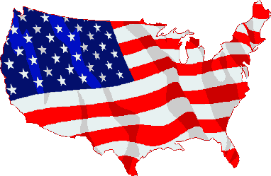
Individual States To find detailed information about the 50 states please choose from the list below To see a country map showing all the states please click on Flag map image |
|
|---|---|
|
|